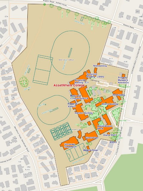
Increasingly schools are spending more time and resources managing risk and compliance. Having accurate and up to date Fire and Evacuation procedures and community maps is a critical part of this. AssetWhere risk management software helps you visualise the detail of your buildings, rooms, services and grounds.

Emergency Evacuation Diagrams

AssetWhere Emergency Evacuation Diagrams are the ideal way for your school to ensure that every student, staff member, or visitor knows how to respond in an emergency.

Create compliant diagrams that meet industry standards for planning for emergencies and facilities.

AssetWhere uses the existing building and room information of your school to create accurate Emergency Evacuation Diagrams. Taking this information and adding key location points that are important to students, staff, and visitors, we can create evacuation diagrams for every room and floor.

AssetWhere Emergency Evacuation Diagrams can illustrate:

  • Evacuation procedures.
  • ‘You are here’ indicator relative to each map.
  • The route from the ‘You are here’ point to the nearest exit.
  • The locations of fire and smoke alarms.
  • The location of any firefighting equipment in the building e.g., fire extinguishers by type.
  • The designated assembly area outside the building and the route from each exit to the assembly area.

See video for more details.

Emergency Evacuation Diagrams are also complemented by AssetWhere Community Maps which include visitor maps, emergency services maps and evacuation routes maps.

Planning for Future

A key feature in AssetWhere is the location of emergency egress locations.”
The importance of this consideration was amplified by the large and damaging earthquakes that hit the New Zealand capital in recent years.
Nick said: “It’s definitely a useful addition to our school’s preparedness for any future emergency events.”

Nick Harris
Queen Margaret College Property Manager